🚚 Free Worldwide Shipping on All Orders!Shop Now
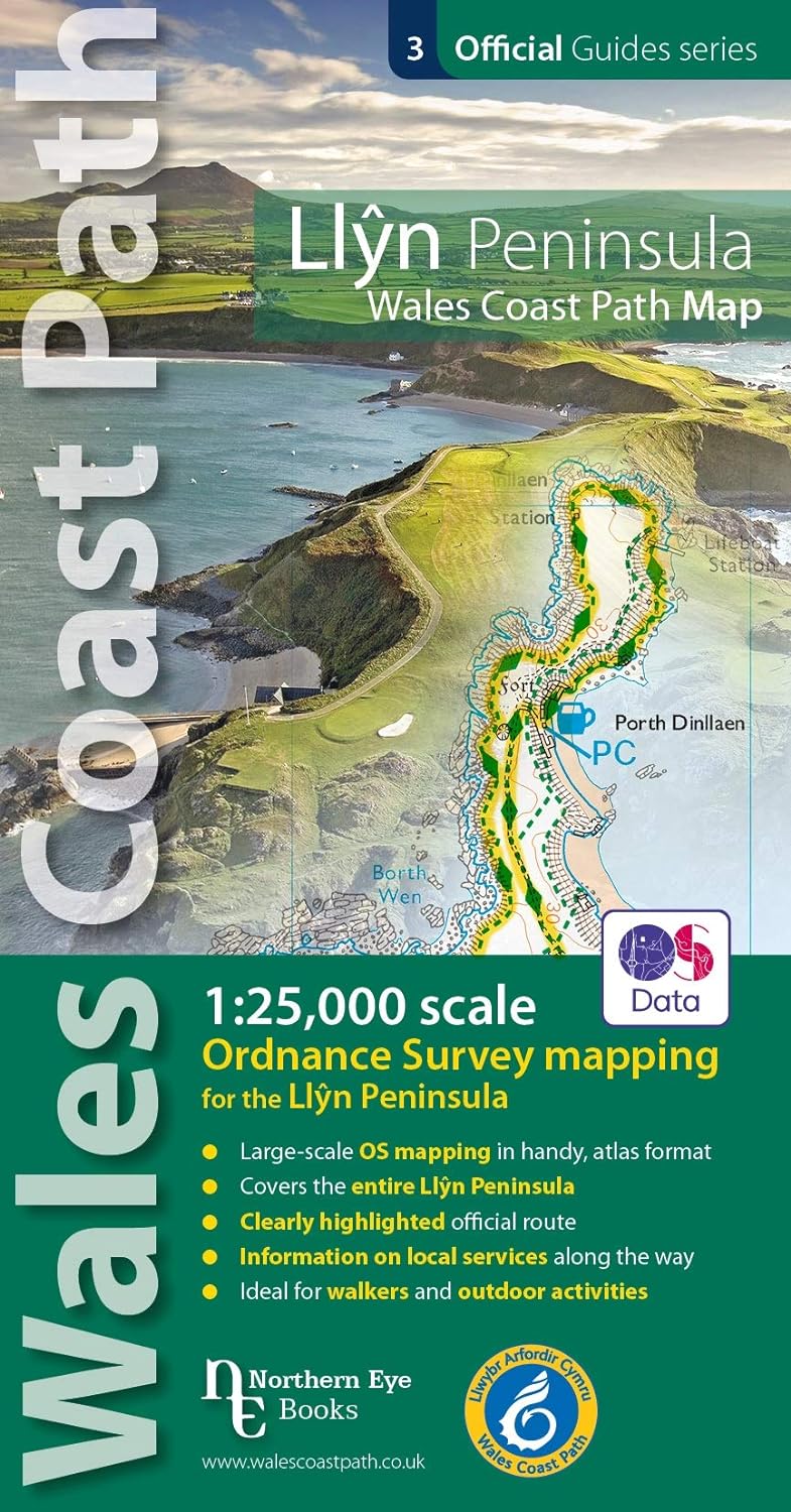
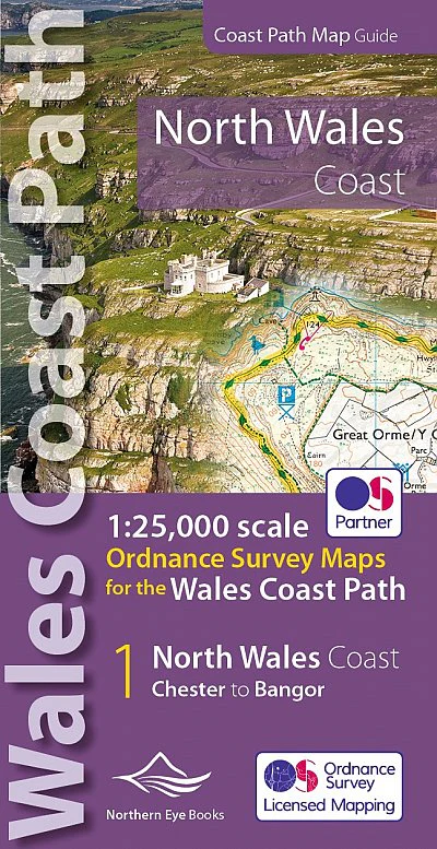
OS North Wales Coast Path Map - North Wales Coast
One of seven handy, lightweight, pocket sized map books covering the whole of the 870 mile/1400 kilometre Wales Coast Path.
This volume covers North Wales from Chester to Bangor and includes enhanced large scale (1:25,000) Ordnance Survey mapping in a handy atlas format, with extracts from large scale Explorer maps 266, 265, 264 and OL17.
The official route of the Wales Coast Path is highlighted and on-map symbols show amenities at main towns and villages. There is an introduction and additional useful information.
Product Information
Product Information
Shipping & Returns
Shipping & Returns
OS North Wales Coast Path Map - North Wales Coast
OS North Wales Coast Path Map - North Wales Coast
One of seven handy, lightweight, pocket sized map books covering the whole of the 870 mile/1400 kilometre Wales Coast Path.
This volume covers North Wales from Chester to Bangor and includes enhanced large scale (1:25,000) Ordnance Survey mapping in a handy atlas format, with extracts from large scale Explorer maps 266, 265, 264 and OL17.
The official route of the Wales Coast Path is highlighted and on-map symbols show amenities at main towns and villages. There is an introduction and additional useful information.
This volume covers North Wales from Chester to Bangor and includes enhanced large scale (1:25,000) Ordnance Survey mapping in a handy atlas format, with extracts from large scale Explorer maps 266, 265, 264 and OL17.
The official route of the Wales Coast Path is highlighted and on-map symbols show amenities at main towns and villages. There is an introduction and additional useful information.
$4.75
Original: $13.58
-65%OS North Wales Coast Path Map - North Wales Coast—
$13.58
$4.75Product Information
Product Information
Shipping & Returns
Shipping & Returns
Description
One of seven handy, lightweight, pocket sized map books covering the whole of the 870 mile/1400 kilometre Wales Coast Path.
This volume covers North Wales from Chester to Bangor and includes enhanced large scale (1:25,000) Ordnance Survey mapping in a handy atlas format, with extracts from large scale Explorer maps 266, 265, 264 and OL17.
The official route of the Wales Coast Path is highlighted and on-map symbols show amenities at main towns and villages. There is an introduction and additional useful information.
This volume covers North Wales from Chester to Bangor and includes enhanced large scale (1:25,000) Ordnance Survey mapping in a handy atlas format, with extracts from large scale Explorer maps 266, 265, 264 and OL17.
The official route of the Wales Coast Path is highlighted and on-map symbols show amenities at main towns and villages. There is an introduction and additional useful information.