🚚 Free Worldwide Shipping on All Orders!Shop Now
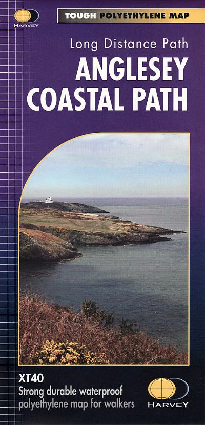
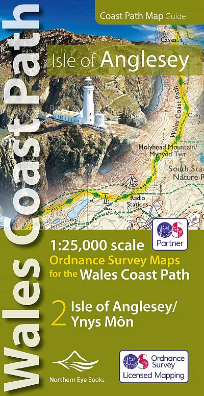
OS North Wales Coast Path Map - Isle of Anglesey
Enhanced, large scale (1: 25,000) Ordnance Survey mapping in a handy atlas format with all the mapping you need to walk a complete circuit of the Anglesey section of the Wales Coast Path. Continuous OS mapping covering the complete circuit from Menai Bridge. Contains coastal extracts from large scale Explorer maps 262 and 263.
- Large scale Ordnance Survey mapping for the complete circuit of the Isle of Anglesey in a handy atlas format.
- Highlighted official route of the Wales Coast Path/ Anglesey Coastal Path.
- On-map symbols showing amenities at main towns and villages.
- Introduction with attractive photo mosaic.
- Additional useful information
Product Information
Product Information
Shipping & Returns
Shipping & Returns
OS North Wales Coast Path Map - Isle of Anglesey
OS North Wales Coast Path Map - Isle of Anglesey
Enhanced, large scale (1: 25,000) Ordnance Survey mapping in a handy atlas format with all the mapping you need to walk a complete circuit of the Anglesey section of the Wales Coast Path. Continuous OS mapping covering the complete circuit from Menai Bridge. Contains coastal extracts from large scale Explorer maps 262 and 263.
- Large scale Ordnance Survey mapping for the complete circuit of the Isle of Anglesey in a handy atlas format.
- Highlighted official route of the Wales Coast Path/ Anglesey Coastal Path.
- On-map symbols showing amenities at main towns and villages.
- Introduction with attractive photo mosaic.
- Additional useful information
- Large scale Ordnance Survey mapping for the complete circuit of the Isle of Anglesey in a handy atlas format.
- Highlighted official route of the Wales Coast Path/ Anglesey Coastal Path.
- On-map symbols showing amenities at main towns and villages.
- Introduction with attractive photo mosaic.
- Additional useful information
$4.75
Original: $13.58
-65%OS North Wales Coast Path Map - Isle of Anglesey—
$13.58
$4.75Product Information
Product Information
Shipping & Returns
Shipping & Returns
Description
Enhanced, large scale (1: 25,000) Ordnance Survey mapping in a handy atlas format with all the mapping you need to walk a complete circuit of the Anglesey section of the Wales Coast Path. Continuous OS mapping covering the complete circuit from Menai Bridge. Contains coastal extracts from large scale Explorer maps 262 and 263.
- Large scale Ordnance Survey mapping for the complete circuit of the Isle of Anglesey in a handy atlas format.
- Highlighted official route of the Wales Coast Path/ Anglesey Coastal Path.
- On-map symbols showing amenities at main towns and villages.
- Introduction with attractive photo mosaic.
- Additional useful information
- Large scale Ordnance Survey mapping for the complete circuit of the Isle of Anglesey in a handy atlas format.
- Highlighted official route of the Wales Coast Path/ Anglesey Coastal Path.
- On-map symbols showing amenities at main towns and villages.
- Introduction with attractive photo mosaic.
- Additional useful information